Weather
Weather symbols and meanings
Forecast icons, station plots, map fronts, and the characters that only resemble them.
Weather, in this cabinet, is four systems that share a sky and do not share a grammar. A forecast icon says what a service expects in a period. A station model says what an observer measured at a point. A weather map draws boundaries and pressure, not the raindrop itself. A Unicode character is a code point that a phone can draw in its own style. The World Meteorological Organization’s public icon table, used by the World Weather Information Service, already warns you that night icons replace day icons when the time is local night. It does not license an app’s art, and it does not make an emoji official. NOAA’s surface-map lessons and station plots are a second language: triangles and half-moons for fronts, letters for pressure centers, barbs for wind. Apple’s Weather app and the Met Office publish their own lists. Those lists are named here as products. They are not the WMO table. Read the page for the system you actually have in front of you. A cloud on a phone, a cloud on a chart, and a cloud in a font can all be honest. They are not one mark.
If a page cannot say which system it is in, it does not belong in this file. Forecast, observation, map, and character are the four answers. A fifth, “it just means rain,” is how the systems get welded together.
57 marks in the lexicon. A symbol can sit in more than one tradition. The page says which use is which.
Start here. Rain. Rain is the forecast mark people tap first, and the page is where it is kept apart from a shower, from drizzle, and from the station-plot sign.
 Clear skyA forecast icon for an expected open sky. Not the alchemical sun, and not a clear night.
 Clear nightA forecast icon for an expected clear sky after dark. Not the moon, and not a sunny day.
 Partly cloudyA forecast icon for sun and cloud together. Not overcast, and not a station-model sky circle.
 Cloudy and overcastForecast icons for a covered sky. Cloudy and overcast are not the same row, and neither is rain.
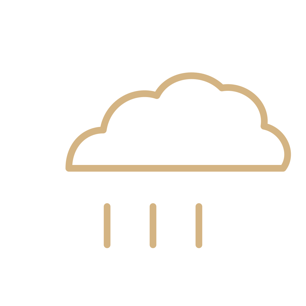 RainA forecast icon for rain expected in a period. Not a shower, not drizzle, and not the station-model sign.
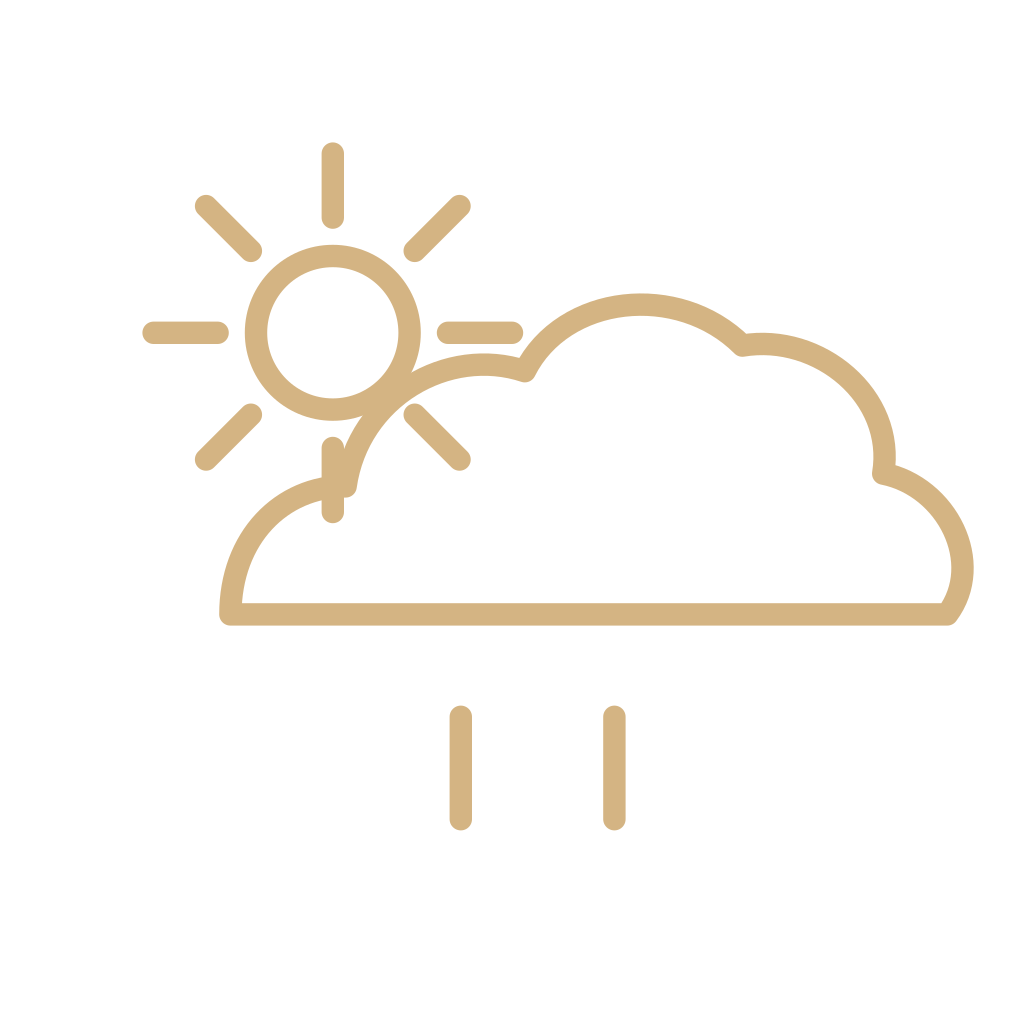 Rain showerA forecast icon for rain that starts and ends. Not steady rain, and not a thunderstorm.
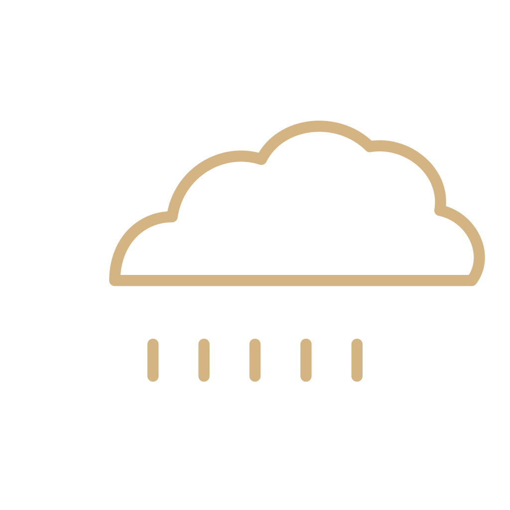 DrizzleA forecast icon for very small, close-set drops. Not light rain, and not mist.
 Freezing rainA forecast icon for rain that freezes on contact. Not sleet, and not ordinary rain.
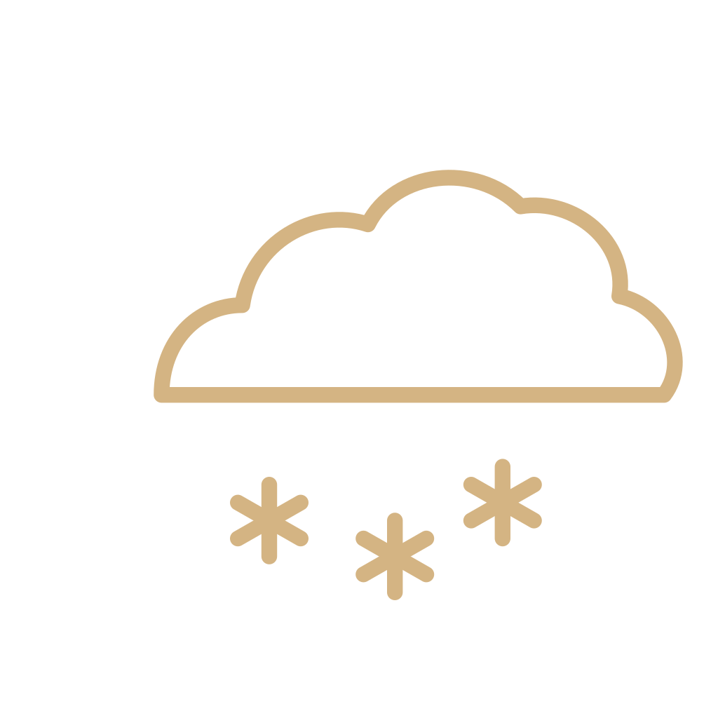 SnowA forecast icon for expected snow. Not a snow shower, not sleet, and not a snowman.
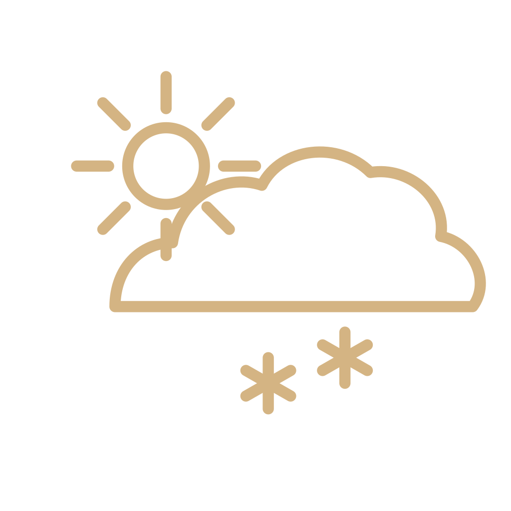 Snow showerA forecast icon for snow that starts and stops. Not a steady snow icon.
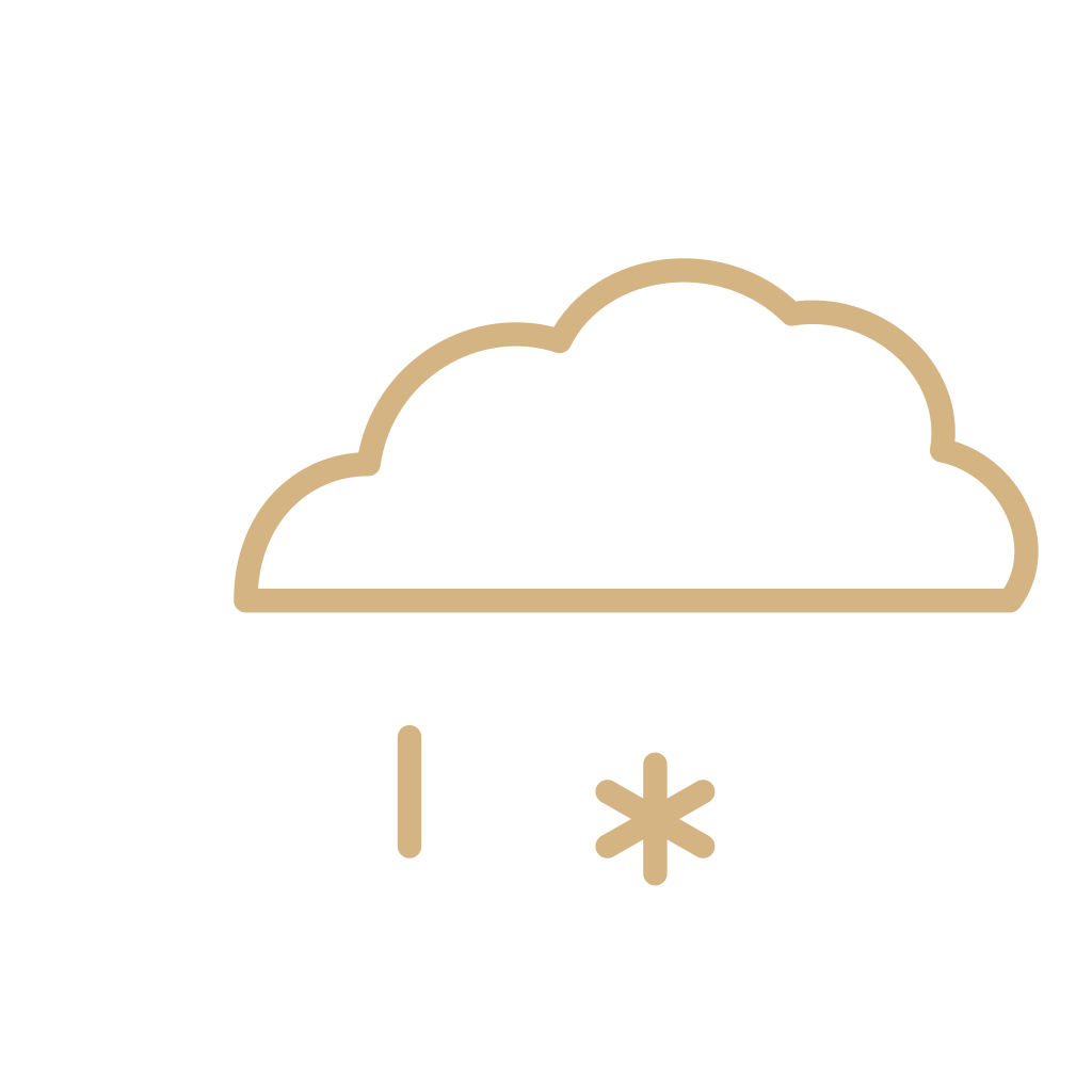 SleetA forecast icon publishers label sleet. Not snow, not freezing rain, and not one universal mixture.
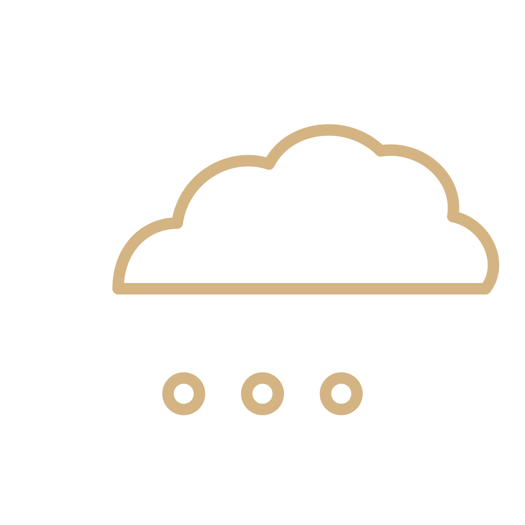 HailA forecast icon for hail. Not snow, and not sleet.
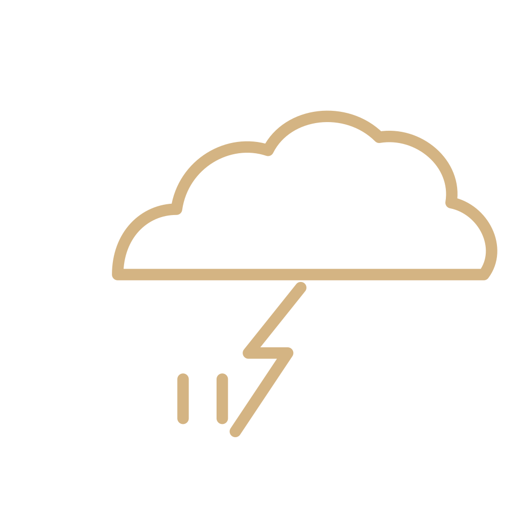 ThunderstormA forecast icon for thunder and lightning. Not a decorative bolt, and not ordinary rain.
 FogA forecast icon for fog. Not mist, not haze, and not the fog character.
 MistA forecast icon for mist. Thinner than fog, and not drizzle.
 HazeA forecast icon for haze. Not fog, not mist, and not smoke.
 WindA forecast icon for expected wind. Not a wind barb, and not the wind-face character.
 DustA forecast icon for dust in the air. Not haze, and not a dust storm at the station.
 SmokeA forecast icon for smoke. Not haze, and not fog.
 SunriseA weather-app mark for the time the sun is expected to rise. Not a clear-sky forecast.
 SunsetA weather-app mark for the time the sun is expected to set. Not a sky condition.
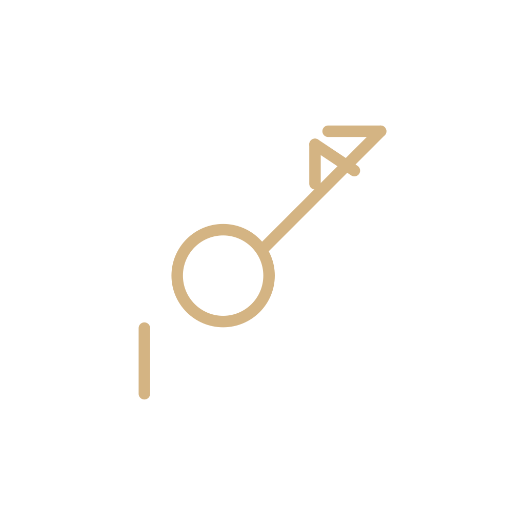 Station modelThe whole observation plot. Sky in the circle, wind on the barb, weather only if something is falling or the air is thick.
 Present weatherThe sign plotted beside a station when weather is occurring. Not a forecast icon, and not all one hundred codes.
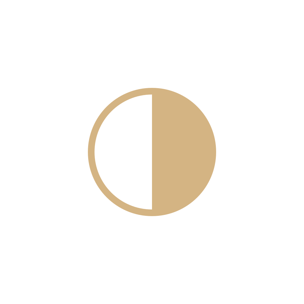 Sky coverThe filled circle on a station model. More ink means more of the sky was covered.
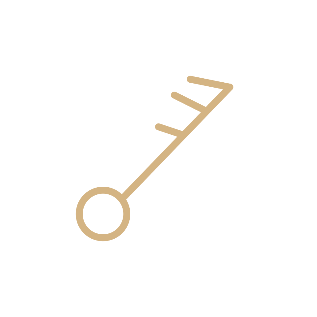 Wind barbStaff, barbs, and pennants: where the wind came from, and how fast. Not a forecast wind icon.
 Calm windA circle and no staff. The wind at the station was calm. Not a clear-sky icon.
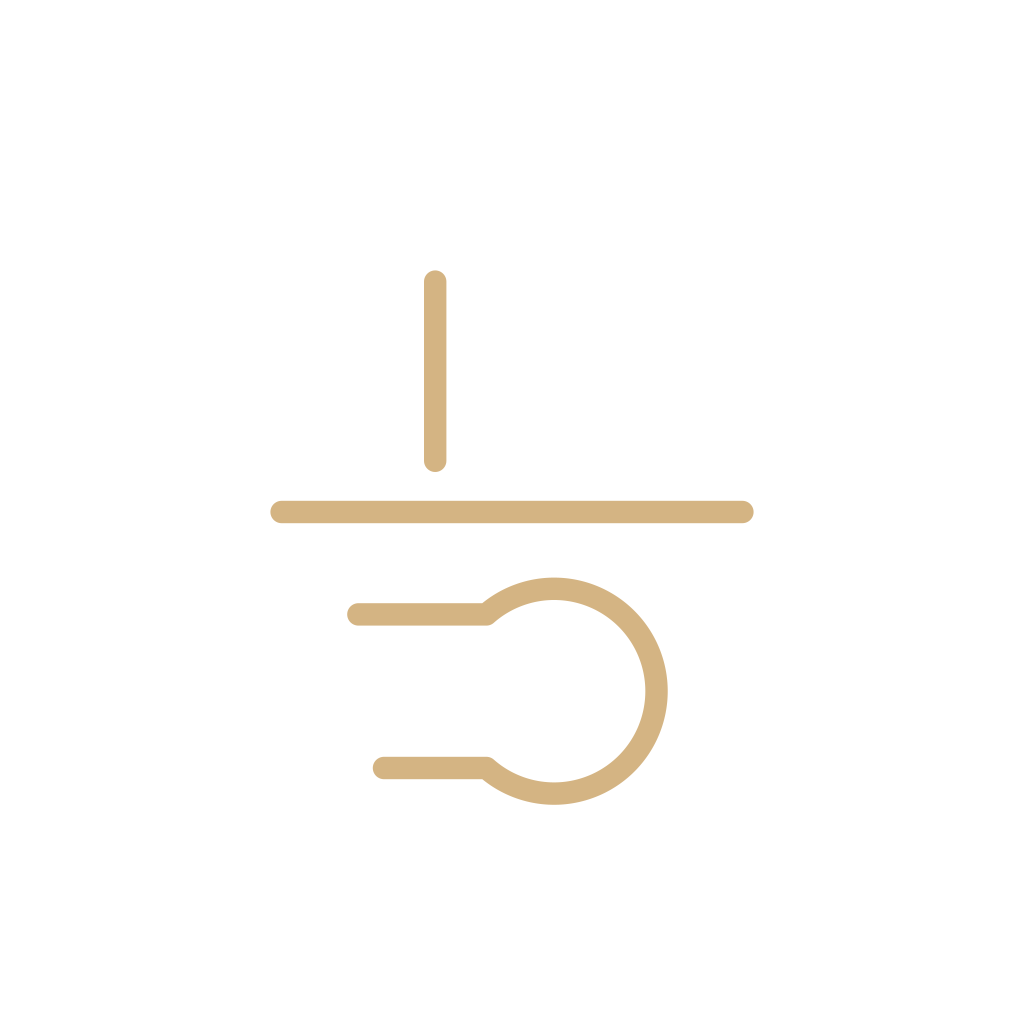 VisibilityThe reported seeing distance at the station. A number, not a forecast fog icon.
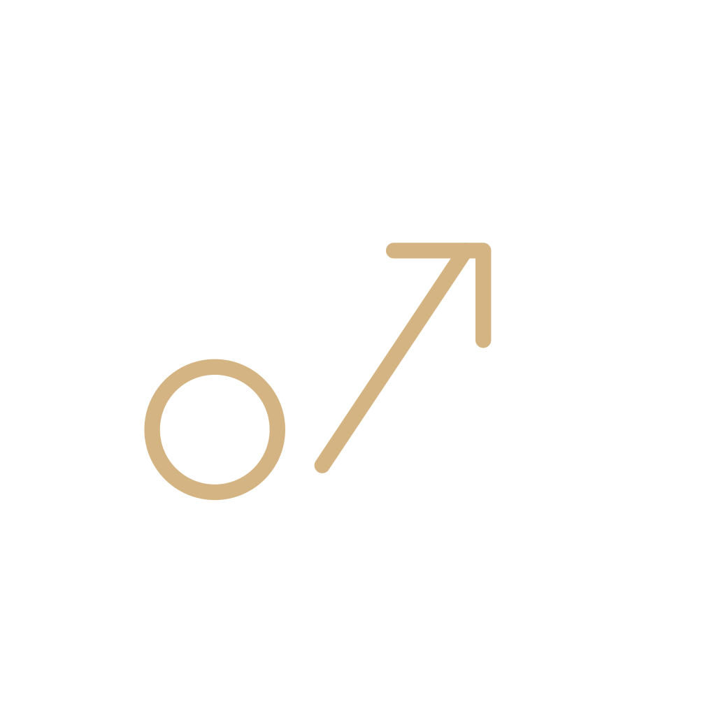 Pressure tendencyHow pressure changed in the last three hours. Not the sea-level pressure code, and not a front.
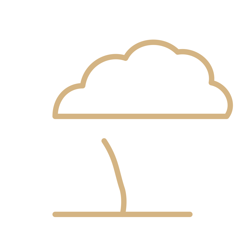 Funnel cloudAn observing category for a funnel. Not a tornado emoji, and not a thunderstorm icon by itself.
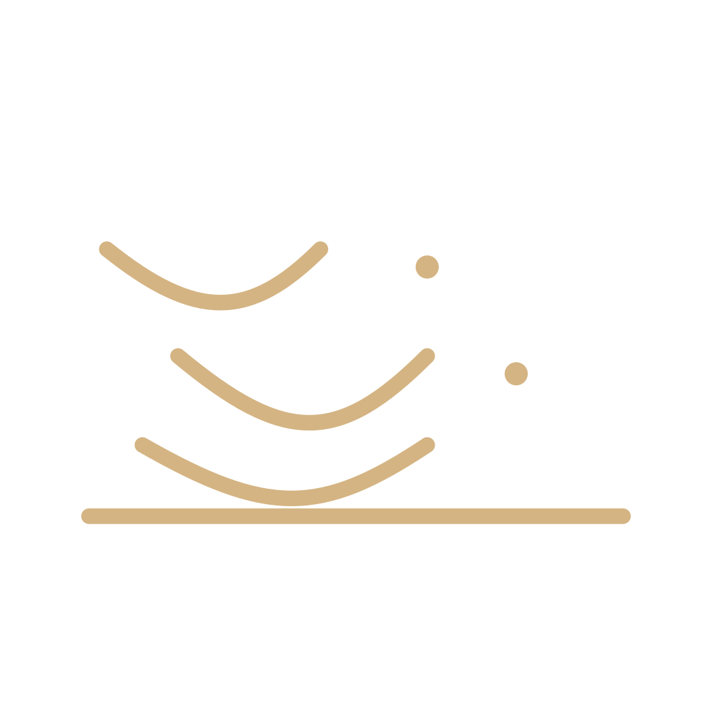 Dust stormDust storm or sandstorm as weather that is happening. Not the milder dust forecast, and not haze.
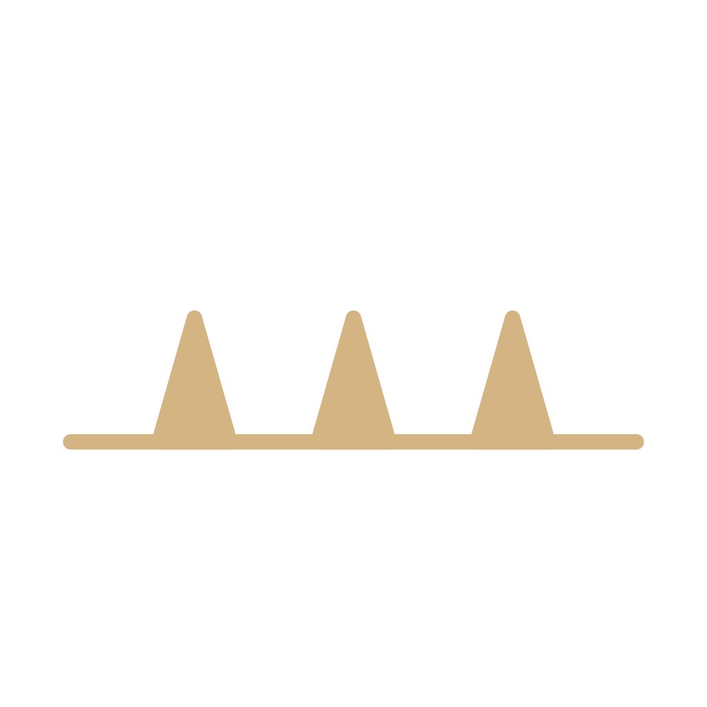 Cold frontA line with triangles in the direction of motion. Cold air is advancing. The color is a publisher’s aid.
 Warm frontA line with half-moons in the direction of motion. Warmer air is advancing.
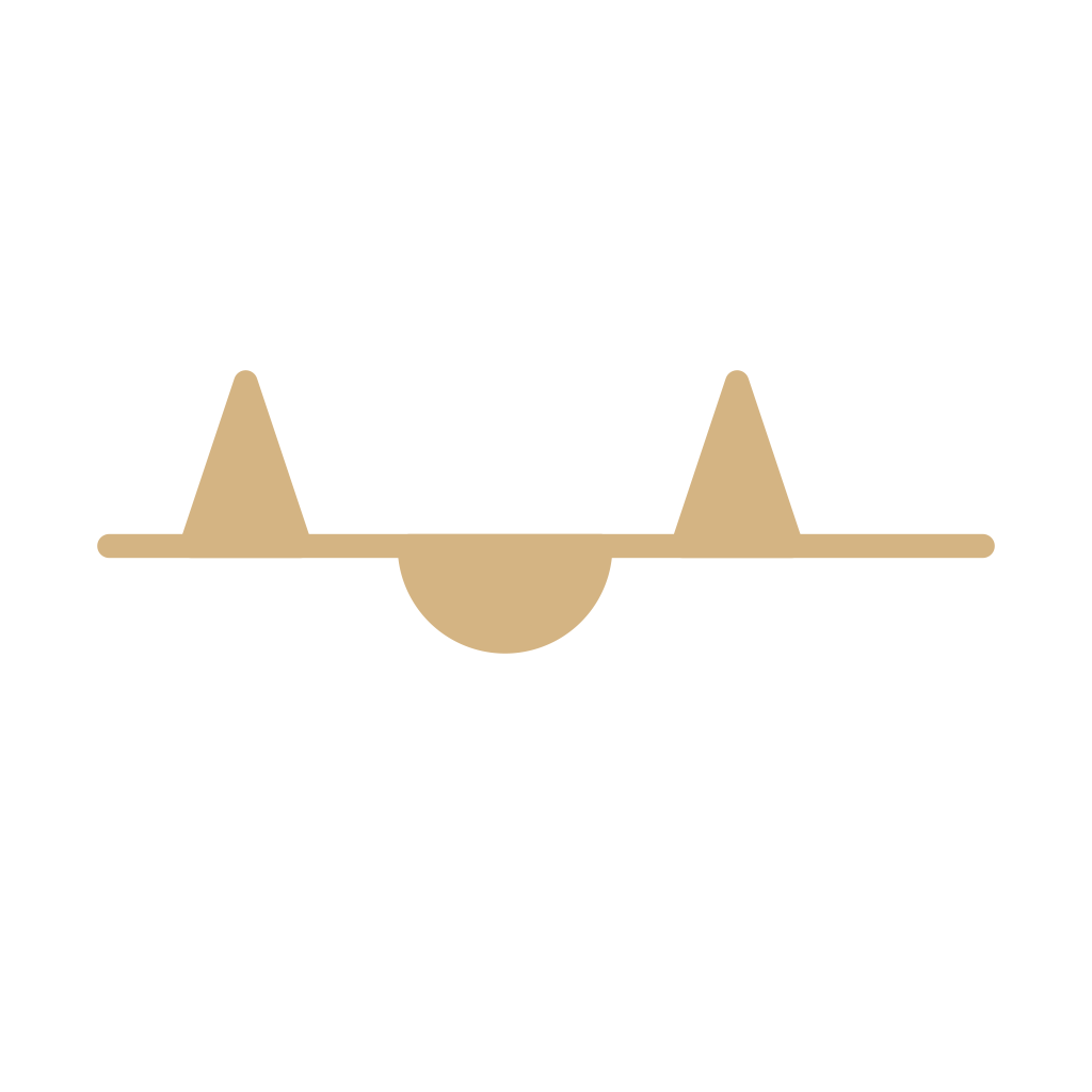 Stationary frontA front that is not moving. Ornaments sit on opposite sides of the line.
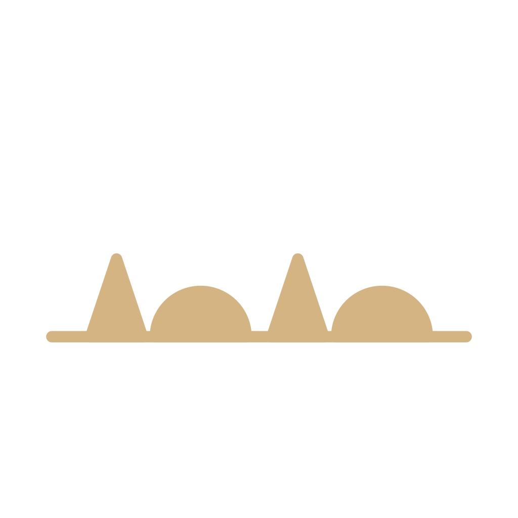 Occluded frontA front that has caught up. Alternating triangles and half-moons share one side of the line.
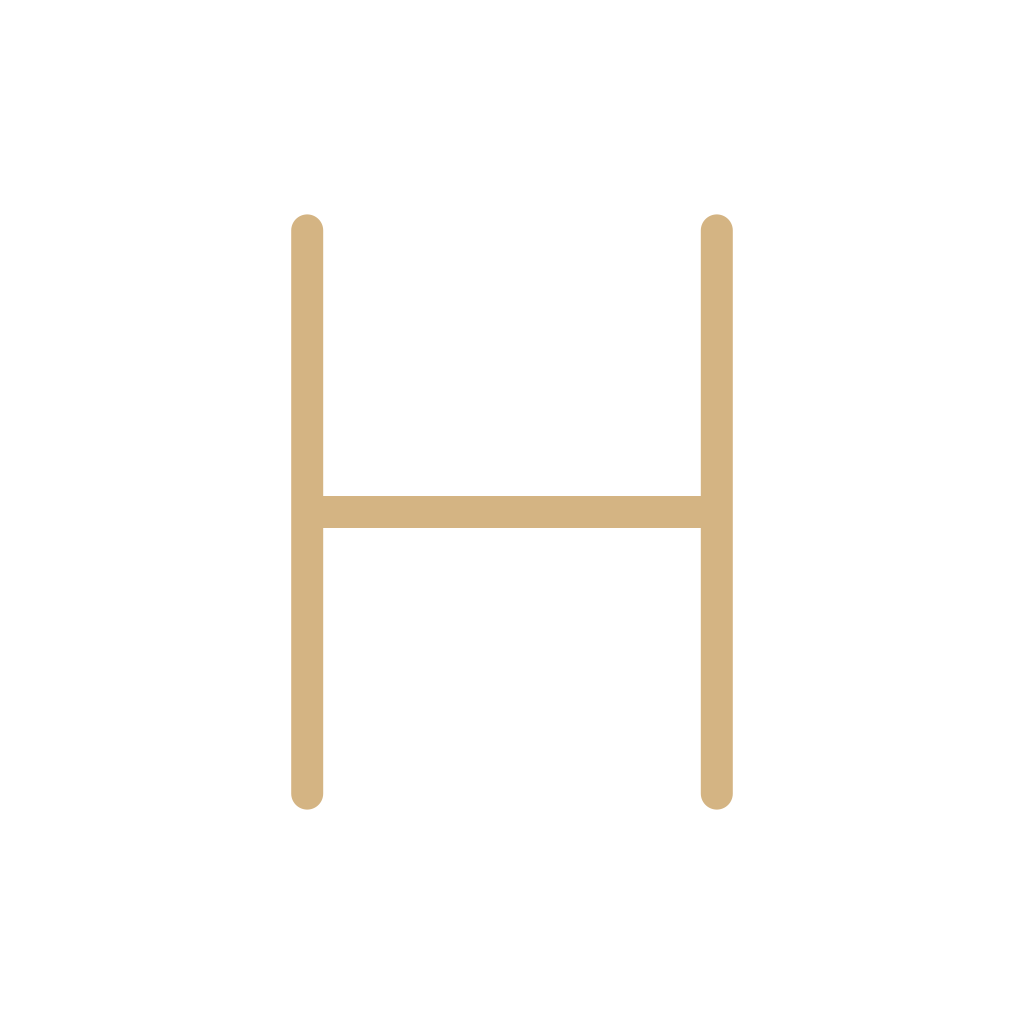 High pressureAn H for a high-pressure center. The letter is the symbol. Color is extra.
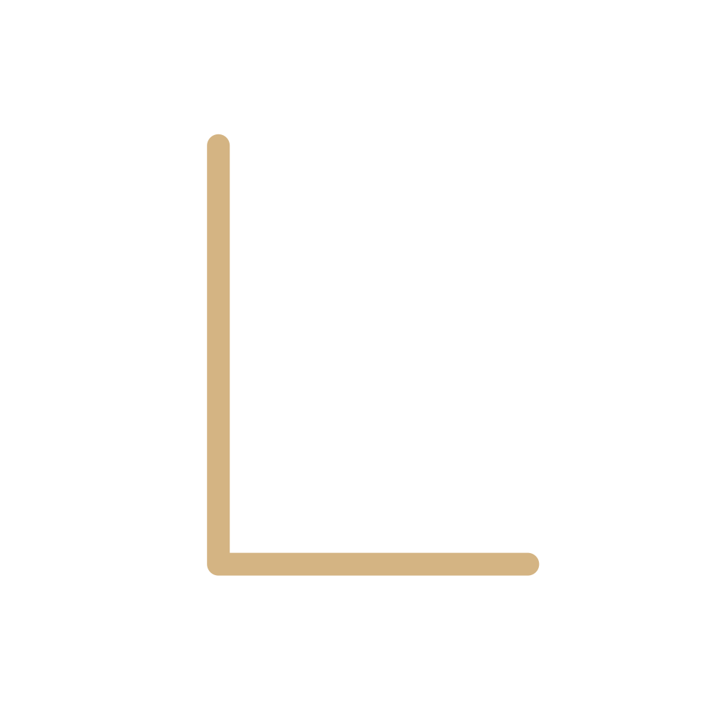 Low pressureAn L for a low-pressure center. Not a rain icon, and not a cold front.
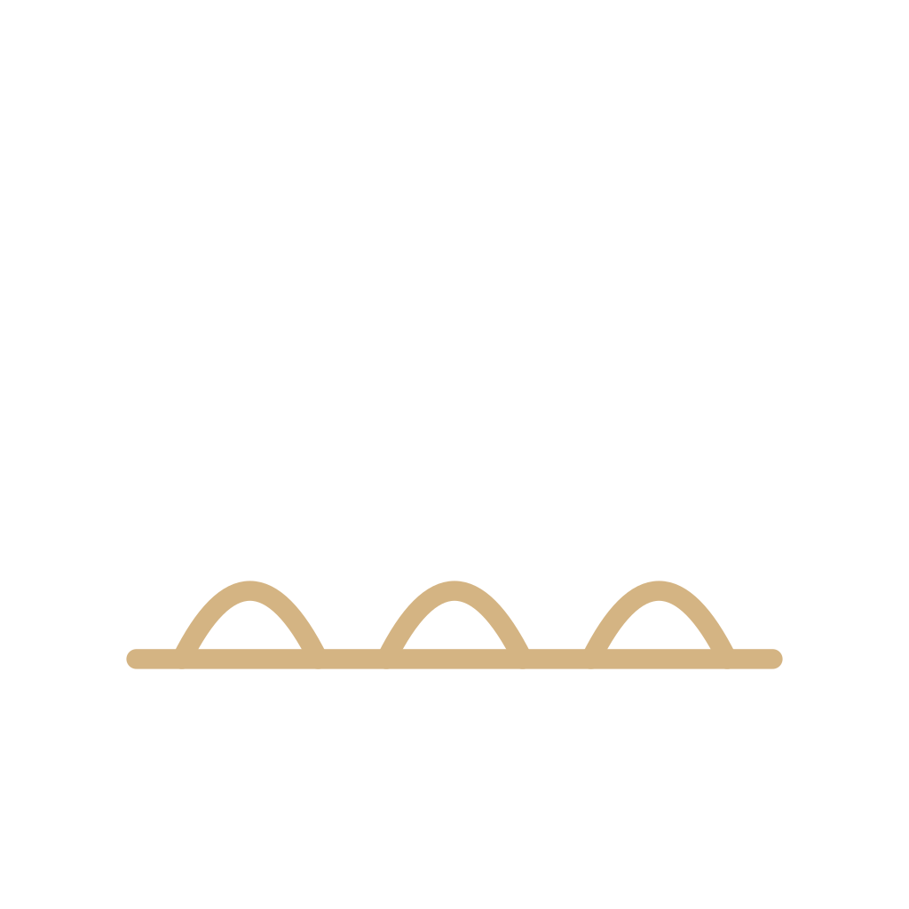 DrylineScallops facing the moist air. A moisture boundary, not a cold front.
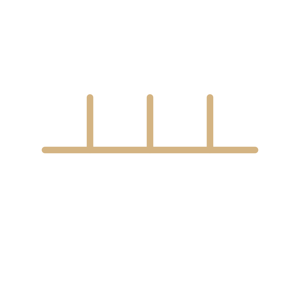 Squall lineA line of thunderstorms. The ticks on this drawing are a reading aid, not a required ornament.
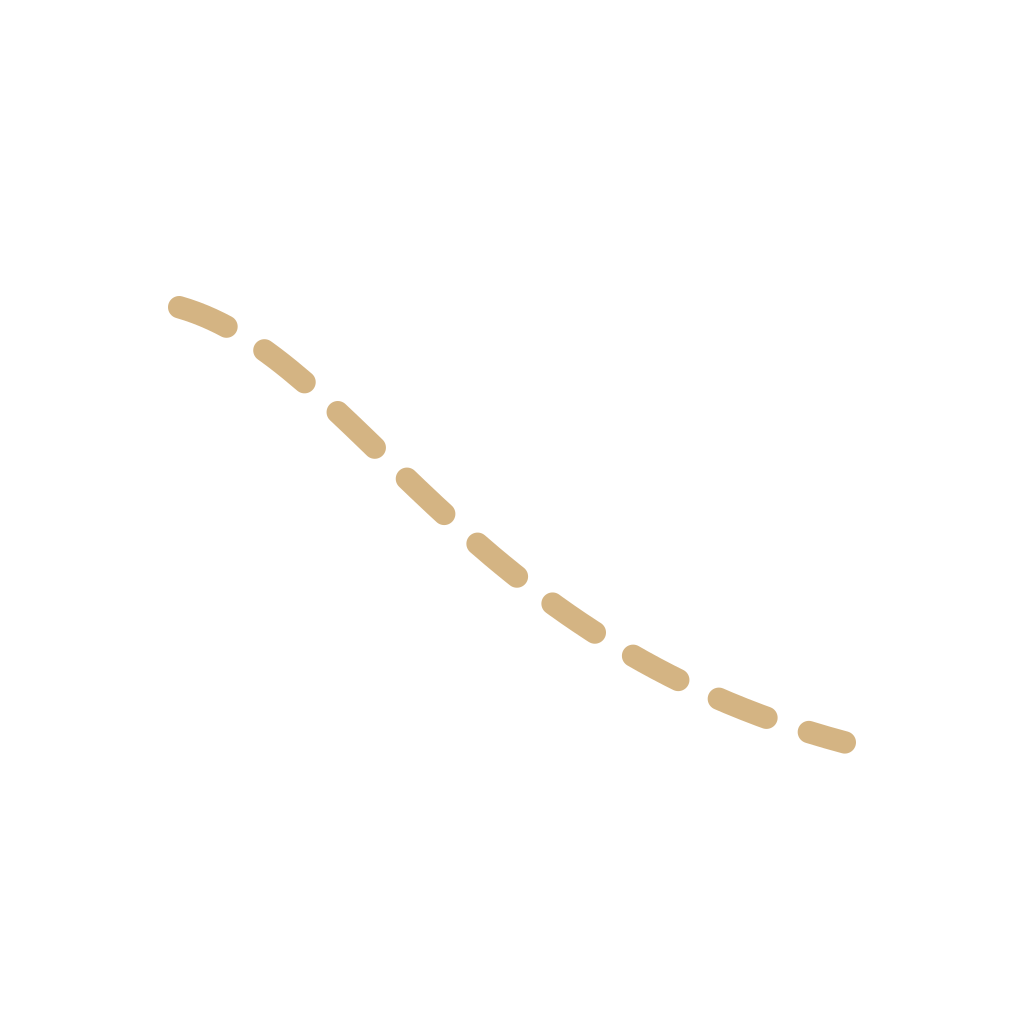 TroughElongated lower pressure and a wind shift. Not a front. The dash is a common habit, not a second alphabet.
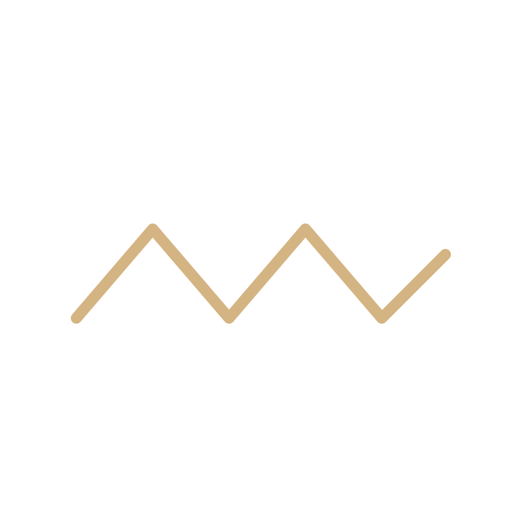 RidgeElongated higher pressure. The zigzag is a reading aid, not a WMO code.
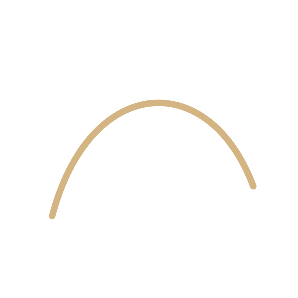 IsobarA line joining equal pressure. The number is the pressure. The line is not a front.
 Map precipitationRain or snow painted on a map as an area or a word. Not a rain icon, and not a front.
 Black sun with raysThe sun character U+2600. Not a clear-sky forecast, and not the alchemical sun.
 Cloud characterThe cloud character U+2601. Not an overcast forecast and not a sky-cover circle.
 UmbrellaThe umbrella character U+2602. A thing you carry, not a rain forecast.
 Umbrella with rain dropsU+2614, an umbrella and drops. Not a WWIS rain icon, and not drizzle.
 Sun behind cloudU+26C5 sun behind a cloud. Not the partly cloudy forecast, though it resembles one.
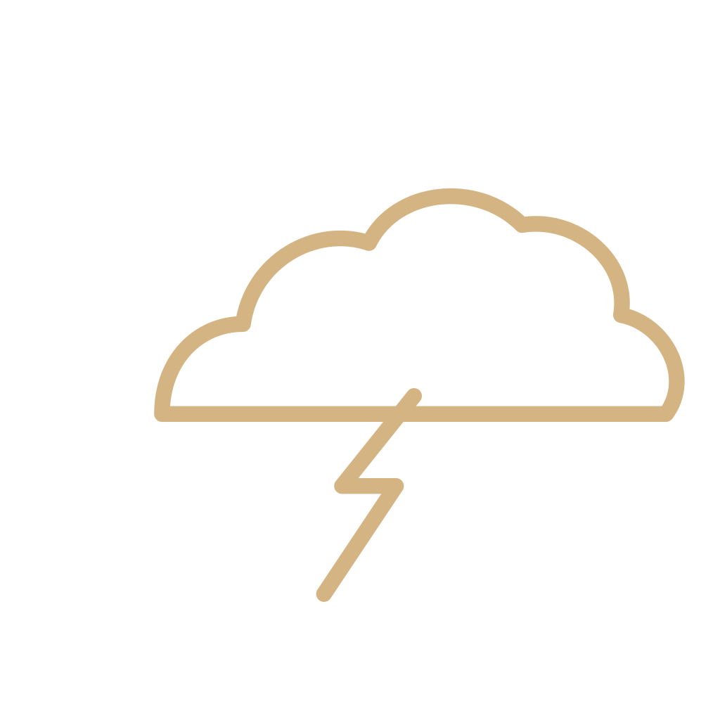 Thunder cloud and rainU+26C8, a cloud with thunder and rain in the name. Not a thunderstorm forecast icon.
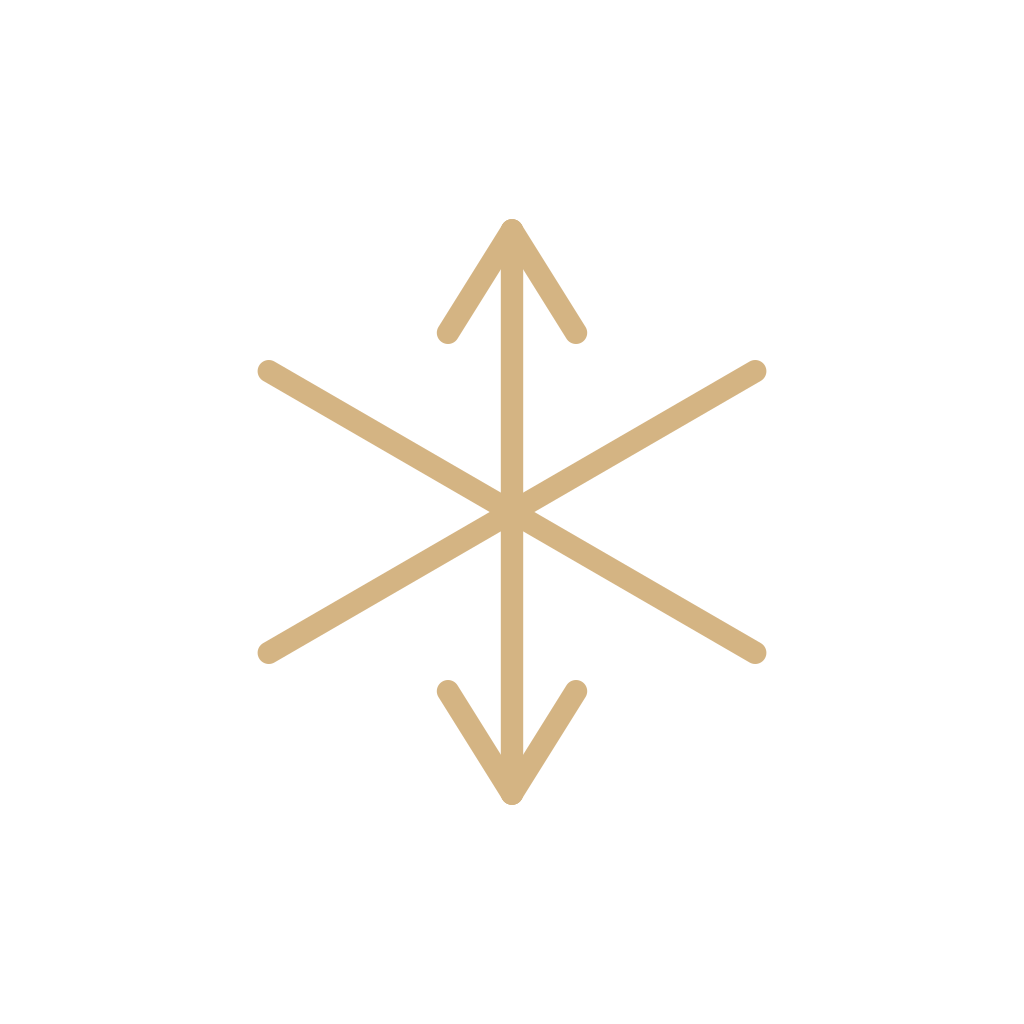 SnowflakeU+2744 SNOWFLAKE, a dingbat. Not a snow forecast, and not a snow shower.
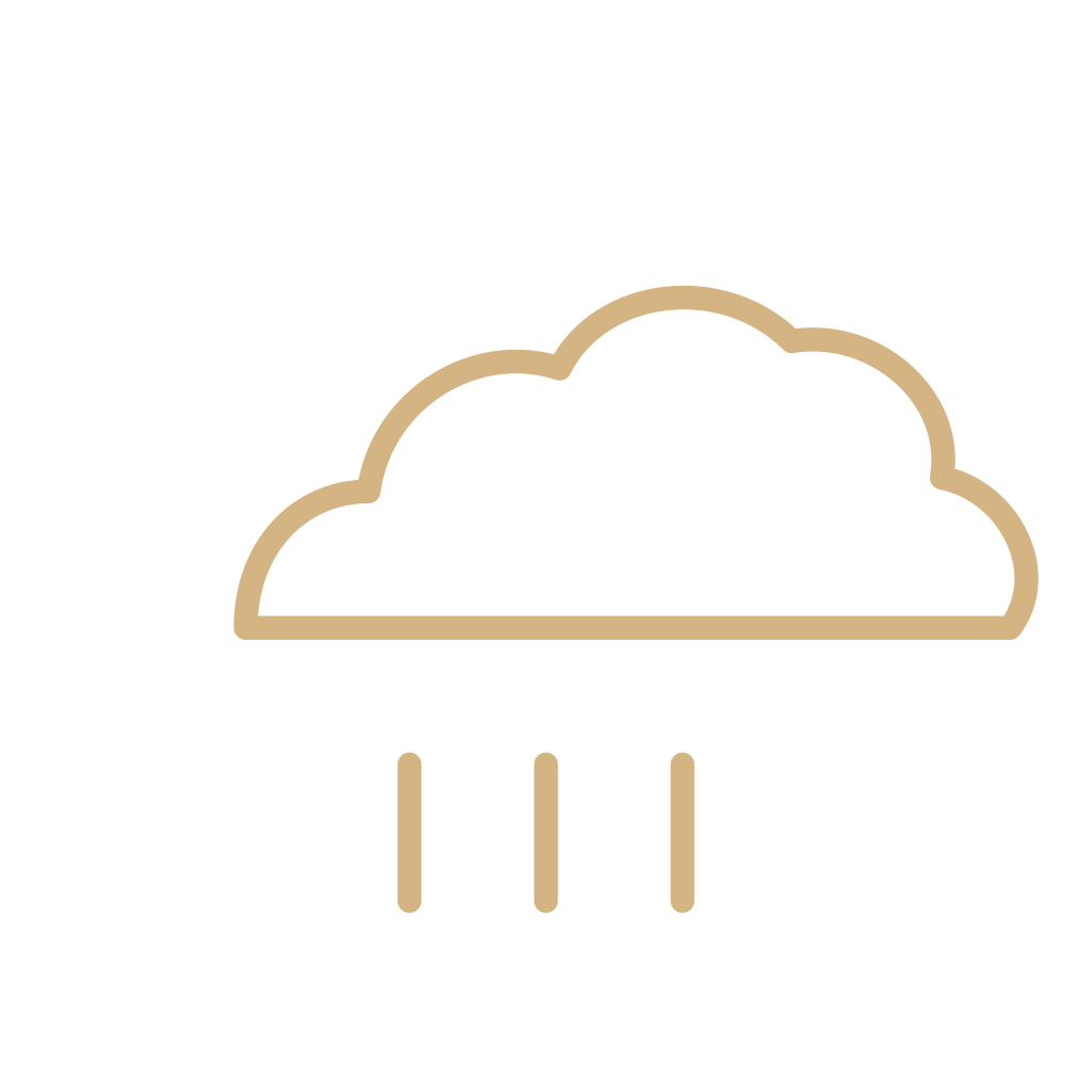 Cloud with rainU+1F327 CLOUD WITH RAIN. The character people paste instead of a forecast. It is still a character.
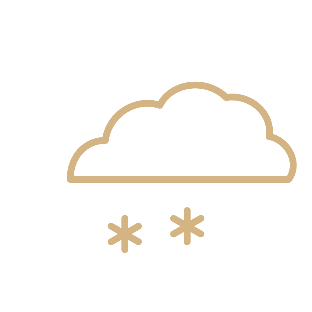 Cloud with snowU+1F328 CLOUD WITH SNOW. Not a snow forecast, and not a snow shower.
 Cloud with lightningU+1F329, lightning and a cloud. Not a thunderstorm forecast, and not rain.
 Tornado characterU+1F32A TORNADO. A character. Not a funnel-cloud report and not a warning polygon.
 Fog characterU+1F32B FOG, the character. Not the fog forecast, and not mist.
 RainbowU+1F308 RAINBOW. A character for a bow, not a forecast icon and not a rain report.
 Wind faceU+1F32C WIND FACE. A face blowing wind. Not a wind barb and not a windy forecast icon.
 SnowmanU+2603 SNOWMAN. A figure, not a snow forecast and not a snow shower.
Questions
Are weather app icons the same as official weather symbols?
No. Forecast icons summarize an expected condition, and agencies and apps draw them differently. The World Weather Information Service publishes one public table, including day and night versions. A phone weather app is a product. A station model and a front on a map are other systems. A Unicode character is a fourth.
What is the difference between a forecast icon and a station model?
A forecast icon is a summary of what is expected over a period. A station model is a compact plot of what was observed at one place and time: sky cover, wind, pressure, and present weather. The same English word, rain, can name both. The drawings are not interchangeable.